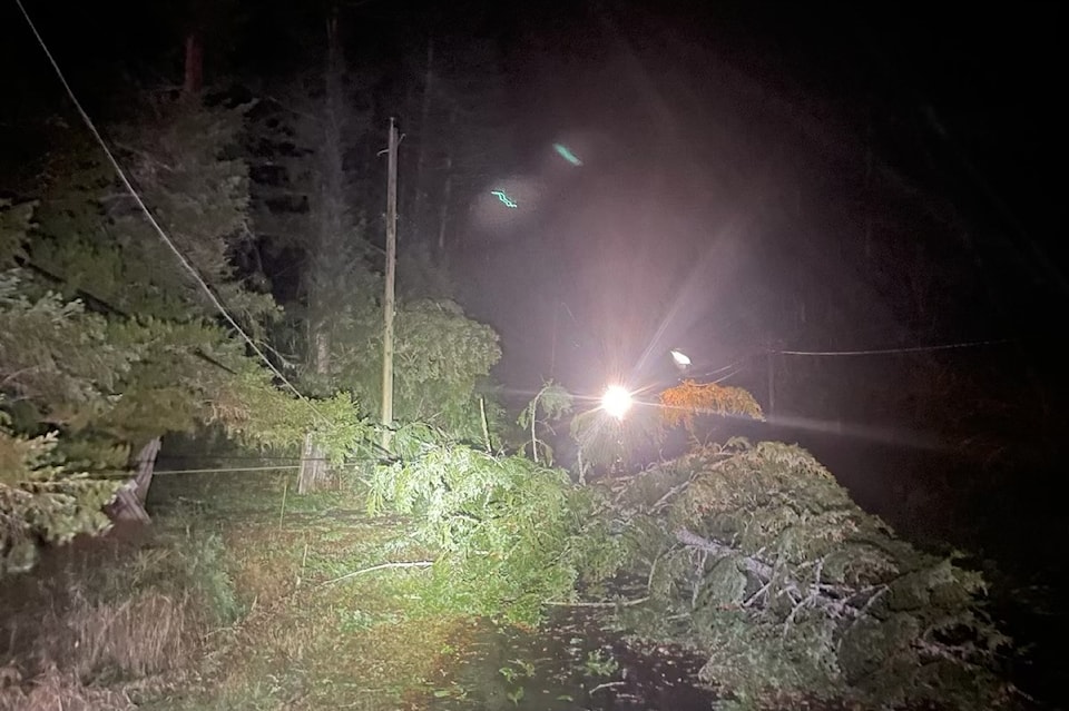
About 90,000 Vancouver Island Hydro customers woke without power and ferries to the Lower Mainland cancelled across the board Wednesday morning.
More than 175,000 customers have been restored – or nearly two-thirds of the more than 272,000 originally impacted across the province, BC Hydro said in a 6:30 a.m. update for Nov. 20.
With strong winds expected to continue Wednesday in some areas, particularly on Vancouver Island and the Sunshine Coast, further outages were expected.
A downed power line is an emergency, and anyone who sees one should call 911 and stay at least 10 metres back, BC Hydro reminds residents.
As of 6:30 a.m., about 95,000 customers in the province were left without power. The majority – about 90,000 – are on Vancouver Island and the Gulf Islands, with the rest on the Lower Mainland and the Sunshine Coast.
The hardest hit areas early Wednesday were Nanaimo, Greater Victoria, Duncan and Ladysmith.
Citing safety concerns, BC Ferries cancelled the 7 and 9 a.m. ferries between Swartz Bay in North Saanich and Tsawwassen as the Environment and Climate Change Canada severe weather forecast for high winds continued across the Strait of Georgia.
The 6:15 and 8:25 sailings between Horseshoe Bay in North Vancouver and Departure Bay in Nanaimo are also cancelled as are the 5:15 and 7:45 a.m. ferries between Tsawwassen and Duke Point in Nanaimo.
For up-to-date sailing and departure information, check online or phone 1-888-223-3779.
Further cancellations could come as Environment Canada predicts the significant fall storm to continue.
A rapidly deepening low-pressure system arrived approximately 500 km west of Vancouver Island and was forecast to curl northwards Wednesday. Strong southeasterly winds are expected to continue with peak winds expected in the morning and easing later in the day.
Some areas can also expect heavy rain at times but winds remain the primary concern.
The winds, waves and high tide could combine to create a situation where coastal communities see the ocean exceeding the highest astronomical tide, notes a weather advisory issued Tuesday afternoon.
Hazards include waves crashing ashore causing minor flooding and potentially rolling logs and other debris on beaches.
Storm surge from gale to storm-force southeast winds combined with seasonably high tide will produce elevated water levels for areas near the water across the south coast on Wednesday. ̨��MM������ flooding is possible along exposed shorelines, especially in low-lying areas.
For emergency preparedness tips visit Safety Canada at: .
The storm wreaked havoc on many parts of the Island.
READ MORE:
Damage from overnight 'bomb cyclone' closes Comox Valley elementary school


