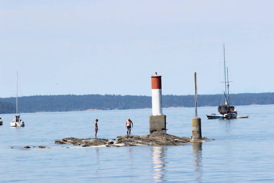
September brought a continuation of above normal temperatures and near-drought conditions that prevailed in August across Vancouver Island.
According to statistics from Chris Carss, a volunteer weather observer-recorder for Environment and Climate Change Canada at his Chemainus home, temperatures averaged about 2 C above normal while total accumulated rainfall was less than a third of the normal.
“Cooler, wetter weather originally expected towards the end of the month failed to materialize as the warm dry trend continued into October,” he noted. “As in August, mostly or partly sunny skies were seen on every day of the month including three mixed weather days that included some rain with the sunshine.”
Measurements taken by Keith Rush at nearby Thetis Island showed just 6.2 mm of precipitation in September. That’s the second lowest September total he’s seen at his Foster Point Road residence that’s he’s now jokingly referring to as Foster Point Desert since there was no precipitation for the month in 2012.
What a difference a year makes. Last September was a deluge of 131.4 mm.
Following is the numerical breakdown for Carss’ stats:
Temperature
Mean maximum 22.6 C, normal 20.1 C.
Mean minimum 12.8 C, normal 11.4 C.
Extreme maximum 28.5 C on Sept. 2.
Extreme minimum 10.0 C on Sept. 20 and 21.
Sunshine
Days mostly or partly sunny and dry 28, normal 18.
Days with mixed weather (sunshine and precipitation) 3.
Total days mostly or partly sunny (including mixed weather days) 31.
Precipitation
Total days with rainfall (including mixed weather days) 3, normal 9.
Total accumulated rainfall 12.0 mm, normal 40.8 mm.
“The first half of October is expected to see a further continuation most days of the warm, dry weather that has persisted since August,” Carss added. “The beginning of the rainy season will likely be delayed until at least late October.”
don.bodger@chemainusvalleycourier.ca
Like us on and follow us on .


