A family of Dutch tourists had to be rescued from the Okanagan back-country after following Google Maps directions from Penticton to Myra Canyon in their Recreational Vehicle.
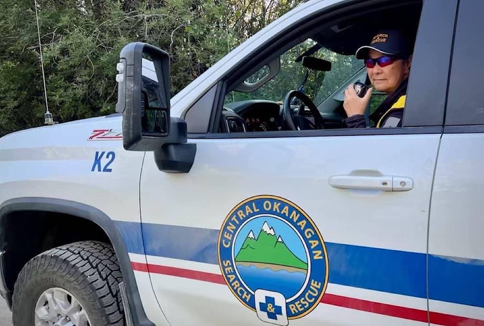
The family was travelling in an RV that was "unsuitable for the task," of navigating the forest service roads in the area, said the Central Okanagan Search and Rescue (COSAR) organization in a
After a bumpy journey, the family was able to find cell phone service at approximately 6:30 p.m. and call for help. COSAR located the family near the , located between Hydraulic Lake and Myra Canyon.
Eight COSAR members responded and escorted the family to the Myra Forest Service Road by 9:30 p.m.
The extraction was COSAR's 51st task of 2024.


