Even the warmest parts of B.C. shivered under double-digit negative temperatures overnight as extreme cold and biting wind has gripped Western Canada and it won’t shake loose until at least Saturday.
Environment Canada cold and Arctic outflow warnings have covered the Canadian map red, from Haida Gwaii to near Hudson Bay.
Forecasters warn the gusting winds can make temperatures feel like -40 or even -55 in some parts of the country.
That means frostbite can develop within minutes on exposed skin, especially with wind chill.
Those who do venture outside are being told to watch for symptoms including shortness of breath, chest pain, muscle pain and weakness, numbness, or fingers and toes changing colour.
While extreme cold puts everyone at risk, Environment Canada says the risks are greater for young children, older adults, people with chronic illnesses, people working or exercising outdoors, and those without proper shelter.
Extreme conditions are expected to persist throughout today, begin to moderate Saturday and ease toward more typical winter lows after that.
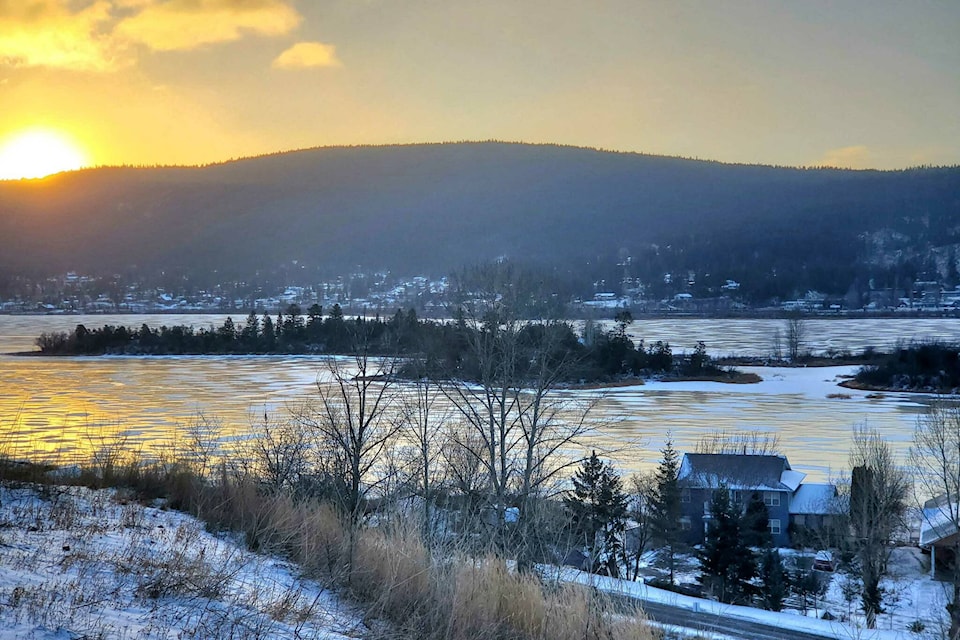
Assorted overnight lows from around British Columbia, as reported by Environment Canada include:
- Victoria -10C, Wind chill -20C
- Nanaimo: -10C, Wind chill -17C
- Richmond: -13, Wind chill -23C
- Abbotsford: -15C, Wind chill -28C
- Hope: -18C, Wind chill -29C
- Kamloops -24C, Wind chill -38C
- Penticton: -21C, Wind chill -33C
- Cranbrook -28C, Wind chill -34C
- Revelstoke: -19C, Wind chill -31C
- Prince George: -39C, Wind chill -44C
- Prince Rupert: -14C, Wind chill -19C
- Fort St. John: -35C, Wind chill -46C
B.C.’s Ministry of Emergency Management and Climate Readiness said in a statement that all of the province’s extreme-weather response shelters are now open. It said more than 5,500 shelter spaces, including permanent, temporary and extreme-weather shelters, are open.
Black Press Media spoke with meteorologist Armel Castellan from Environment Canada about the extreme cold temperatures and snowfall warnings expected in weather alerts issued for Thursday, Jan. 11 across most areas of the province.
— with files from Black Press
READ ALSO:
READ ALSO: